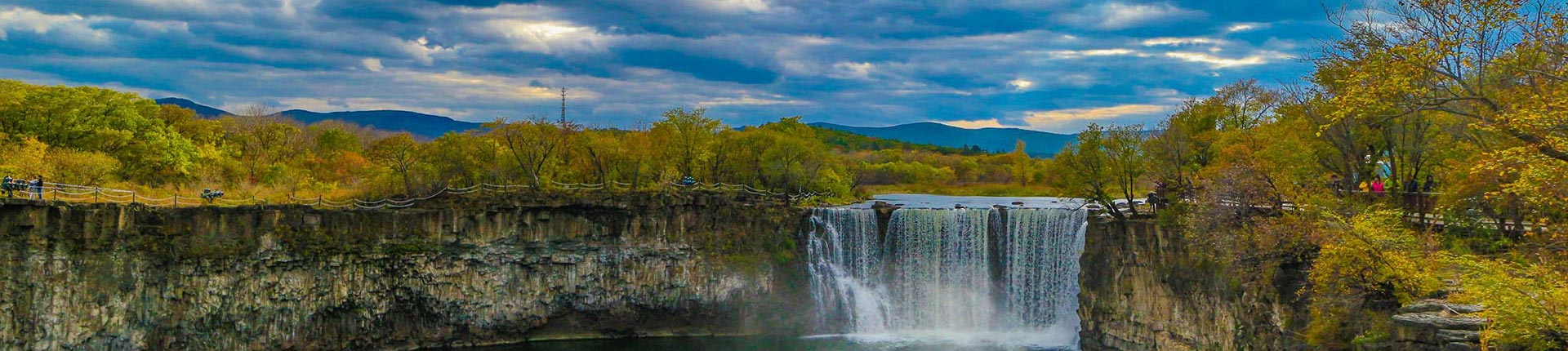
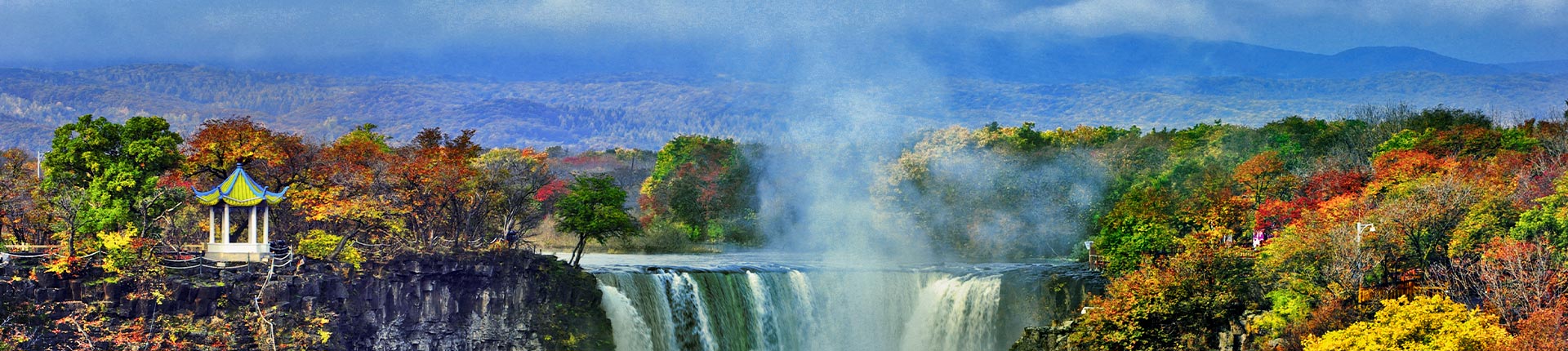
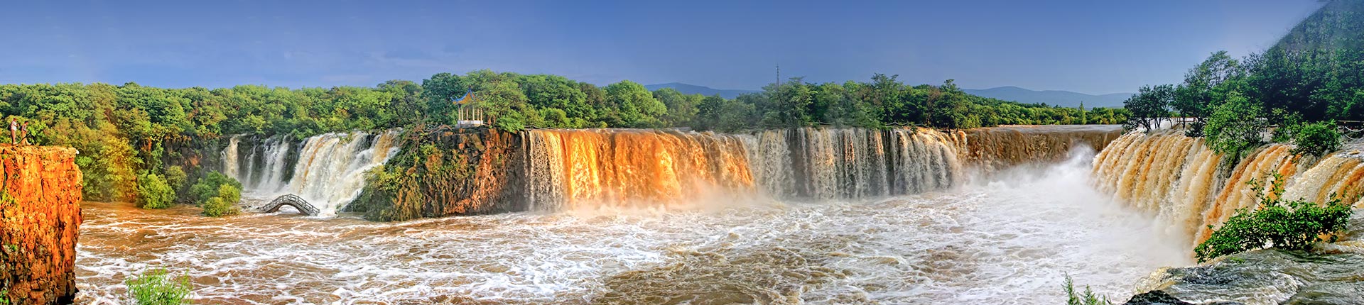
The Changbai Mountain UNESCO Global Geopark is located in the southeastern part of Jilin Province, China, covering a total area of 2,723.832 square kilometers. It lies at the junction between the northeastern margin of the North China Plate in the eastern Eurasian continent and the Mesozoic-Cenozoic northeast-trending circum-Pacific volcanic orogenic belt. The park is primarily characterized by volcanic landforms, tectonic erosion landforms, and fluvial landforms. Its remarkable geological formations and diverse rock types document multiple significant volcanic eruption events. Notably, the "Great Eruption" (Millennium Eruption) approximately 1,000 years ago was one of the largest volcanic eruptions in modern history, with extensive impact areas and unique types of pyroclastic deposits, holding immense international scientific research significance.
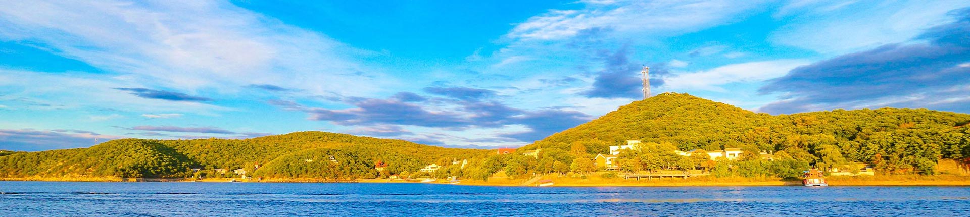
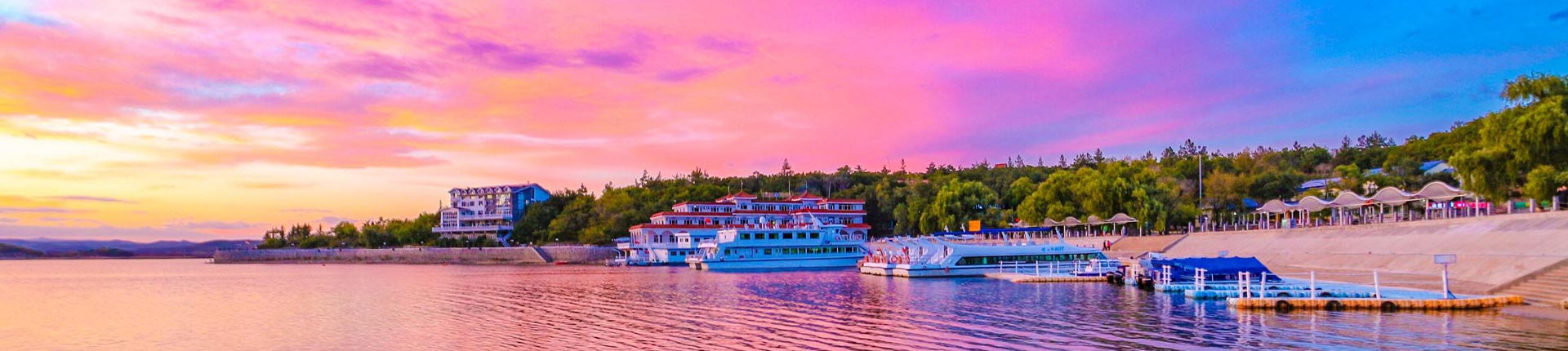
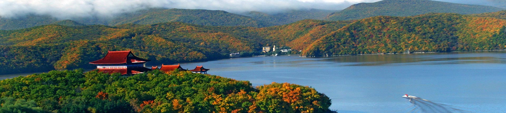
The Changbai Mountain UNESCO Global Geopark is centered around the main peak of Changbai Mountain, featuring a colossal composite volcanic cone and lava plateaus. Due to its unique geological structure and specific geographical location, it displays a rare altitudinal zonation of mountain ecosystems. The park boasts abundant wildlife resources and breathtaking ecological landscapes. Changbai Mountain has long been regarded as a sacred mountain by various ethnic groups in Northeast China and serves as the birthplace of the Manchu people and a settlement area for the Korean ethnic group, possessing distinctive cultural traditions.


Changbai Mountain UNESCO Global GeoparkOfficial Website:(https://cbsgeopark.cn)