
The park is located in the Micang Mountain area in the northern part of Bazhong City, Sichuan Province, and is composed of two parts: the Guangwushan area and the Nuoshuijiang area, covering an area of 1,818 square kilometers. It borders Hanzhong, Shaanxi to the north, the Sichuan Basin to the south, the main range of the Daba Mountains to the east, and the Longmen Mountains to the west, spanning Nanjiang County and Tongjiang County of Bazhong City, Sichuan Province, administratively belonging to Bazhong City. The most stunning landscapes in the park are the karst landforms, including both surface and underground karst features, making it a typical representative of karst landforms in the transitional zone between northern and southern China. It is an ideal and crucial site for studying karst formations in China.

The geological significance of the geopark is profound and extensive, primarily reflected in its complete and typical Yangtze Block and its cover stratigraphic sections, karst landscape, and paleontological fossil landscape. It holds significant scientific value for understanding the geological evolution history of the peripheral basins of the Tethys, the Qinling (Central) orogenic belt, the Sichuan Basin, and even the entire Yangtze Block.

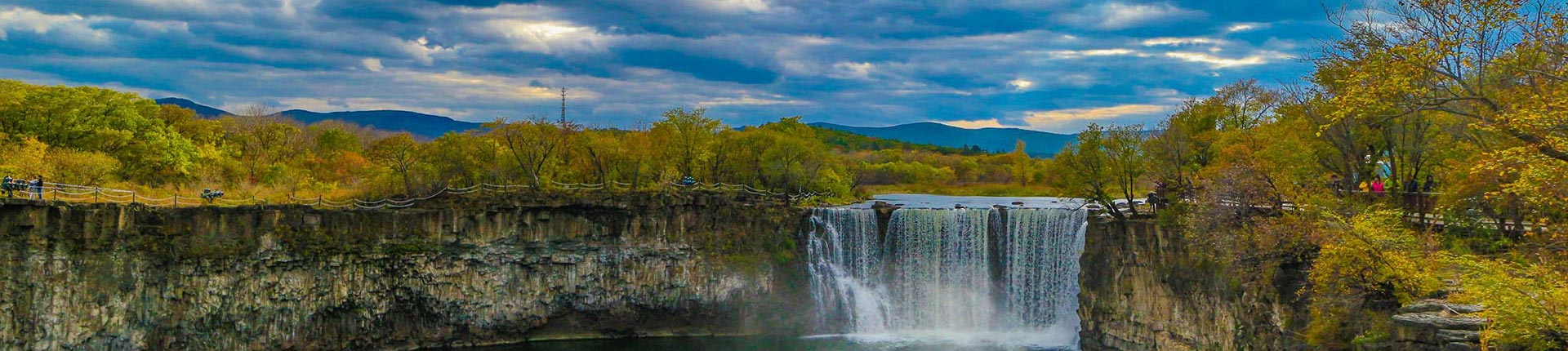
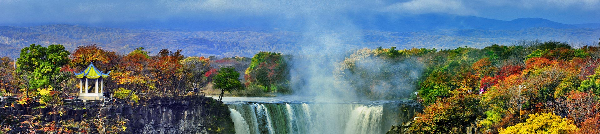
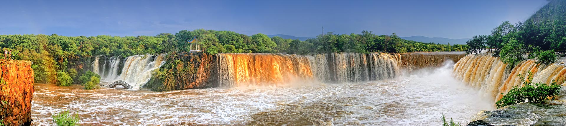
(1) The park is situated along the boundary between northern and southern karst landforms in China. It features a series of distinctive karst landscapes, including the Nuoshui River cave complex, spectacular travertine formations (such as the Billions of Goose Tube formations, Xiongchuan Waterfall, and stone shield clusters), the Kongshan Tianpen polje, the Yanzi Ridge and Jiaguo Mountain ridge-type peak clusters, and the Linjiang Li Gorge. These landscapes exhibit characteristics of both the southern pipe-underground river karst and the northern dry valley-solution fissure karst, making the park a shining pearl along China's north-south karst boundary.

(2) The park is located at the center of a cross-shaped tectonic zone where the east-west Kunlun-Qinling-Dabie Mountains central orogenic belt intersects nearly perpendicularly with the massive north-south Helan-Liupan-Longmen-Kangdian axis orogenic belt traversing China's interior. Belonging to the Micang Mountains orogenic belt, it represents the most typical area for studying the structural transition between the northern margin of the Yangtze Block and the Qinling orogenic belt as well as the Longmen Mountains orogenic belt, along with continental dynamics research.

(3) The park system comprehensively showcases the ancient landmass composed of the old metamorphic rock series along the northern margin of the Yangtze Block, along with the stratigraphic sections of marine deposits from the Sinian to the Middle Triassic, and terrestrial deposits from the Upper Triassic to the Neogene. It serves as a natural geological museum for studying the formation and evolution of ancient continents and Mesozoic-Cenozoic intracontinental orogenic belts in China and even worldwide.

(4) The park is the discovery and naming site of "Shuotheria" animals. The park is rich in paleontological fossils. Particularly precious is the Shuotherium dongi found in the Middle Jurassic Shaximiao Formation, along with the Tritylodontidae family. "Shuotherium dongi," dating back approximately 150 million years, is one of the world's oldest mammalian fossils. Named by Academician Zhou Mingzhen of the Chinese Academy of Sciences, it led to the establishment of the "Shuotheria" order. The discovery of this fossil holds significant importance for the study of biological evolutionary sequences.